
Kennet & Avon Canal Walk
Highlights
This 94 mile walk follows the Kennet and Avon Canal which links Reading with Bristol. Although starting and ending in towns and cities, it is a mostly peaceful and quiet walk.
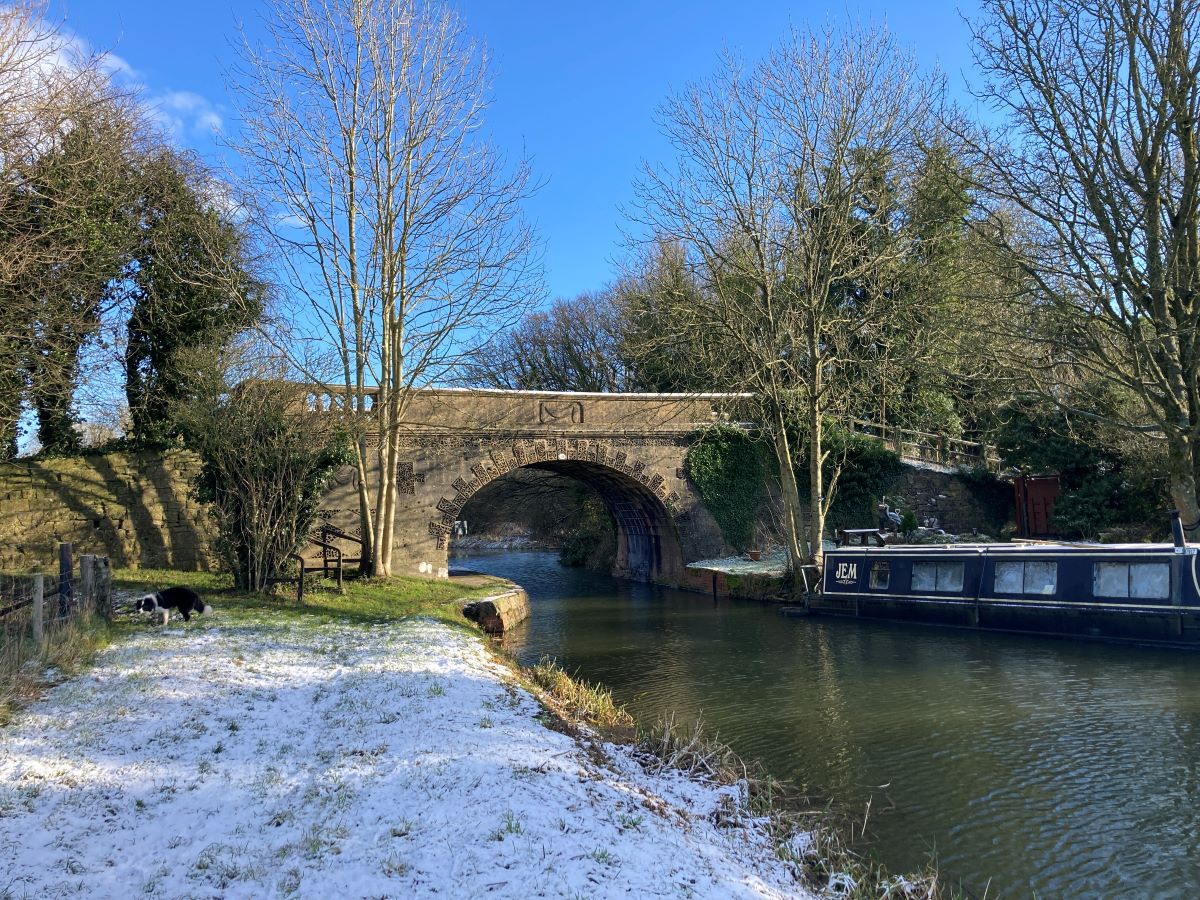
The walk starts at the confluence of the River Kennet and the River Thames. Walking through the centre of Reading you will soon pass through the peaceful countryside of West Berkshire, passing through occasional towns such as Newbury and Hungerford. The canal continues its journey through rural Wiltshire, famous for its crop circles and white horses on the hillside.
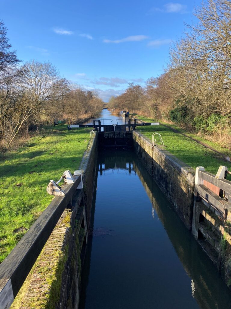
Between Pewsey and Devizes you will reach the summit of the canal as you cross the watershed between the Kennet and Avon. At Devizes, a magnificent staircase of 29 locks takes boats down to the valley floor. Bradford on Avon is a charming town where river, canal, road and railway meet. And so to Bath: once a Roman city and spa that became popular in Georgian times leaving a legacy of magnificent terraces.
The final walk to Bristol is a fitting end. Strictly speaking the canal has ended as the river is navigable from Bath. Your walk ends at the Neptune Statue in Bristol. You can admire the SS Great Britain, designed by Brunel who also built the Great West Railway.
The walk can be done in either direction although the guidebook is written from Reading to Bristol.
A Brief History of the Canal
The Kennet and Avon Canal was not constructed in one go. Rather, it grew piece by piece. The Kennet became navigable between Reading and Newbury as early as 1723. Known as the Kennet Navigation it utilised the river with occasional cuts. About the same time, the Avon became navigable between Bristol and Bath.
Construction began in 1794 to link the two navigations and was completed in 1810. Goods could now travel freely between London, via the Thames, and then to Bristol, the major port for America. Coal and stone would be transported from Somerset and the Cotswolds.
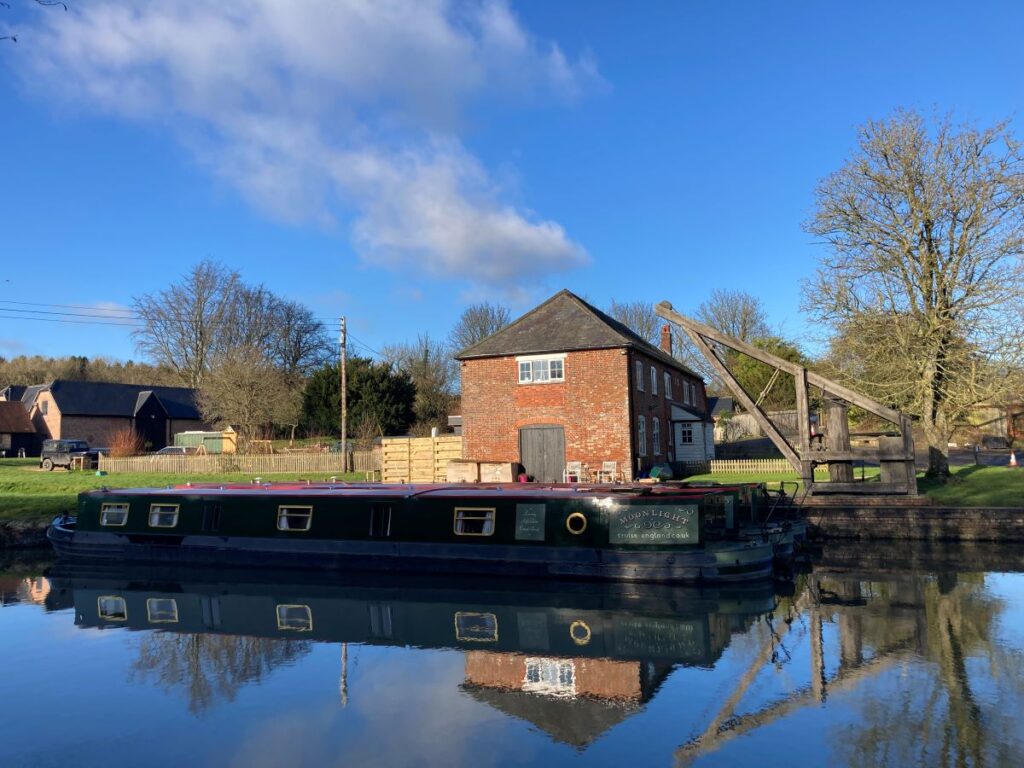
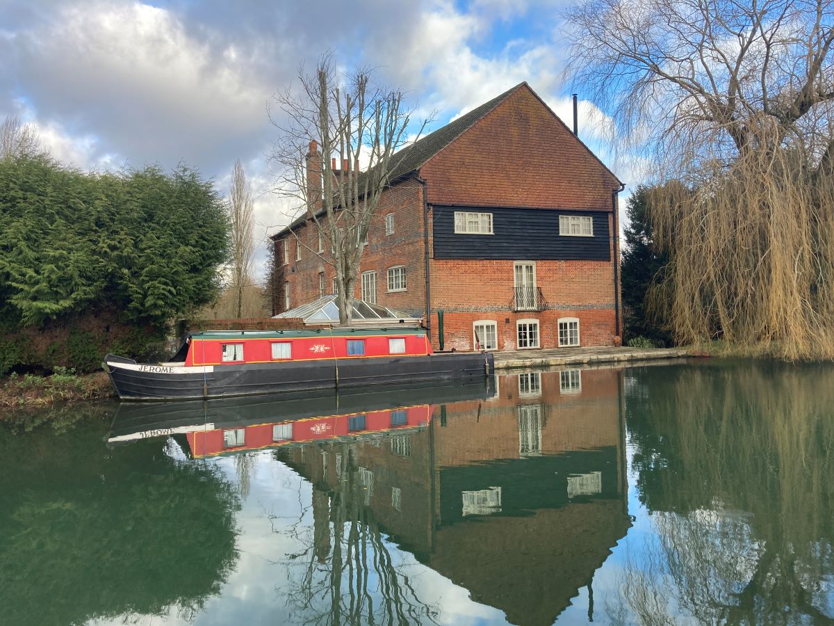
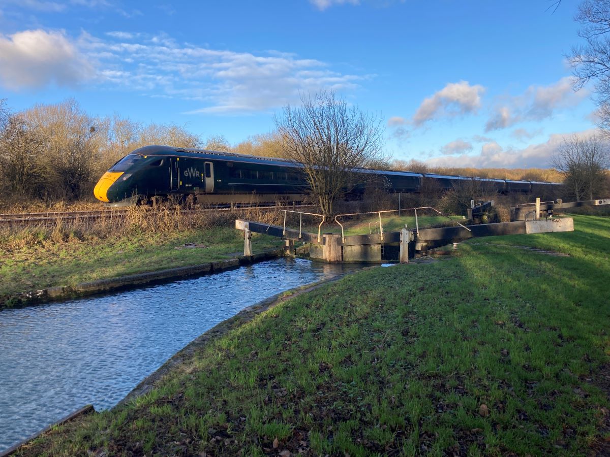
The canal had a short commercial life. The Great Western Railway opened in 1841 and the canal quickly fell into disuse. A century later a public campaign to restore the canal resulted in funding from various sources, both public and private. By 2003 the canal was fully operational and is now very much a recreational route as well as providing homes for many who choose to live on water.
Routefinding, terrain, acccommodation and transport
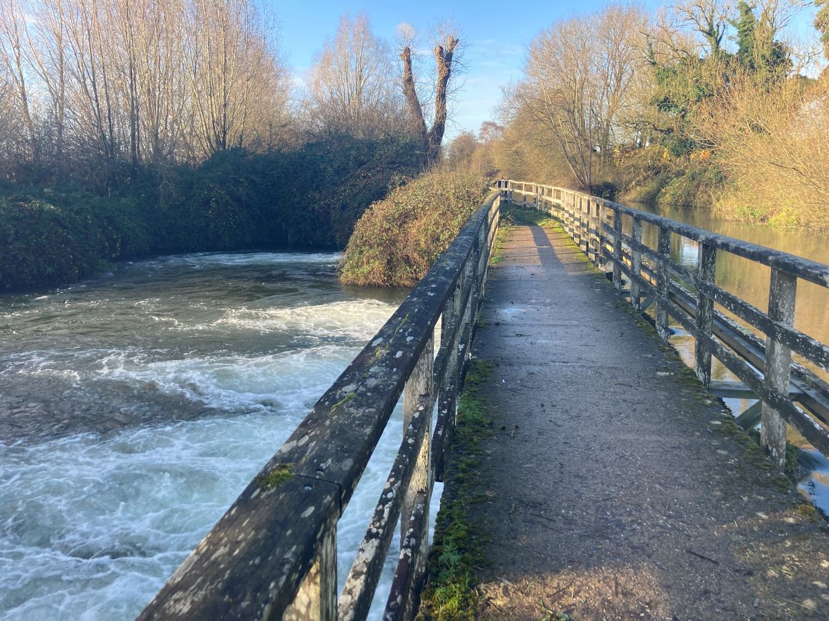
The Kennet and Avon Canal Walk is not a National Trail and is therefore not signposted as such. Nor does the Ordnance Survey map label it. However, as it follows the canal all the way – except for 500m where the canal passes through a tunnel and also a short section between Bath and Keynsham – the route is easy to follow. From time to time you will need to change which side of the canal you are walking on. The guidebook explains this.
As you might expect, the route is relatively flat. From Reading the canal rises gently from 50m above sea level to the summit of 150m. The path varies in quality. Towards either end of the canal the path is firm and wide. But in the middle, particularly between Pewsey and Devizes, it is narrow and can be muddy off-season.
There are inns and hotels throughout the route meaning you will never have to walk more than 12 miles. However, in the middle section of the canal, availability is limited so booking early is recommended. As there are no hotels in Pewsey, we use self-catered accommodation. However, there are restaurants and cafes in the town so you won’t need to prepare food yourself – unless you want to.
One of the beauties of this walk is the ease of getting to and from the start and finish. Both Reading and Bristol have great train connections. You can travel between the two cities in just over an hour.
Itineraries
We have developed a 9 day itinerary which averages 10.5 miles per day with the longest day being 12.2 miles. This is available in two accommodation options: standard or superior.